
SURVEYING & DGPS
Field positioning and navigation. Talk to our team about DGPS and survey-specific requirements.
DGPS selection depends on accuracy requirements, base-rover configurations, and site conditions.
FEATURED
PRODUCTS.
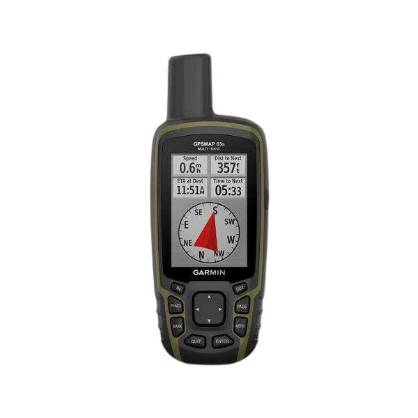
Handheld GPS (GPSMAP® 65s)
2.6-inch color / Multi-band GNSS
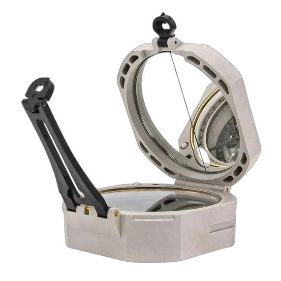
ComPro™ Composite Transit F-5008
ComPro™ Composite Transit F-5008 / Composite body material (reduces weight & protects against magnetic interference)
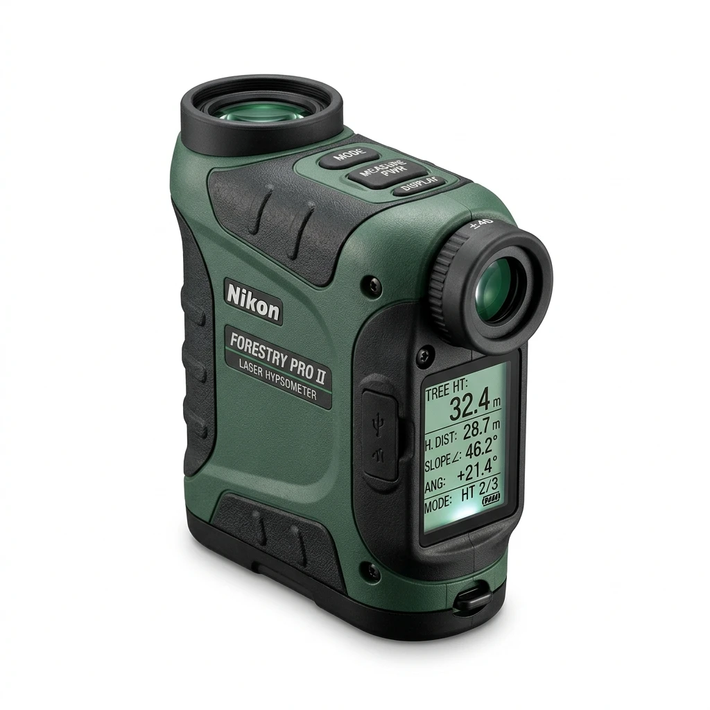
Laser Rangefinder
Handheld Laser Rangefinder / Distance & Height Measurement
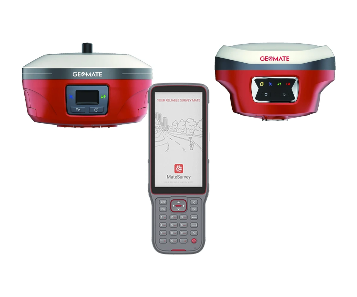
GeoMate Complete GNSS RTK System
Complete GNSS RTK Base + Rover + Field Controller Solution / GeoMate GBASE (1608 Channels, Internal 5W UHF, LongRun up to 30 km)
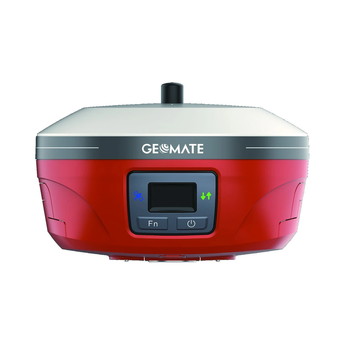
GeoMate GBASE GNSS Base Station
1608 channels multi-constellation GNSS / GPS (L1 C/A, L2C, L2P, L5), GLONASS (L1, L2), BeiDou (B1I, B2I, B3I, B1C, B2a, B2b), Galileo (E1, E5a, E5b, E6), QZSS (L1, L2, L5), SBAS (L1)
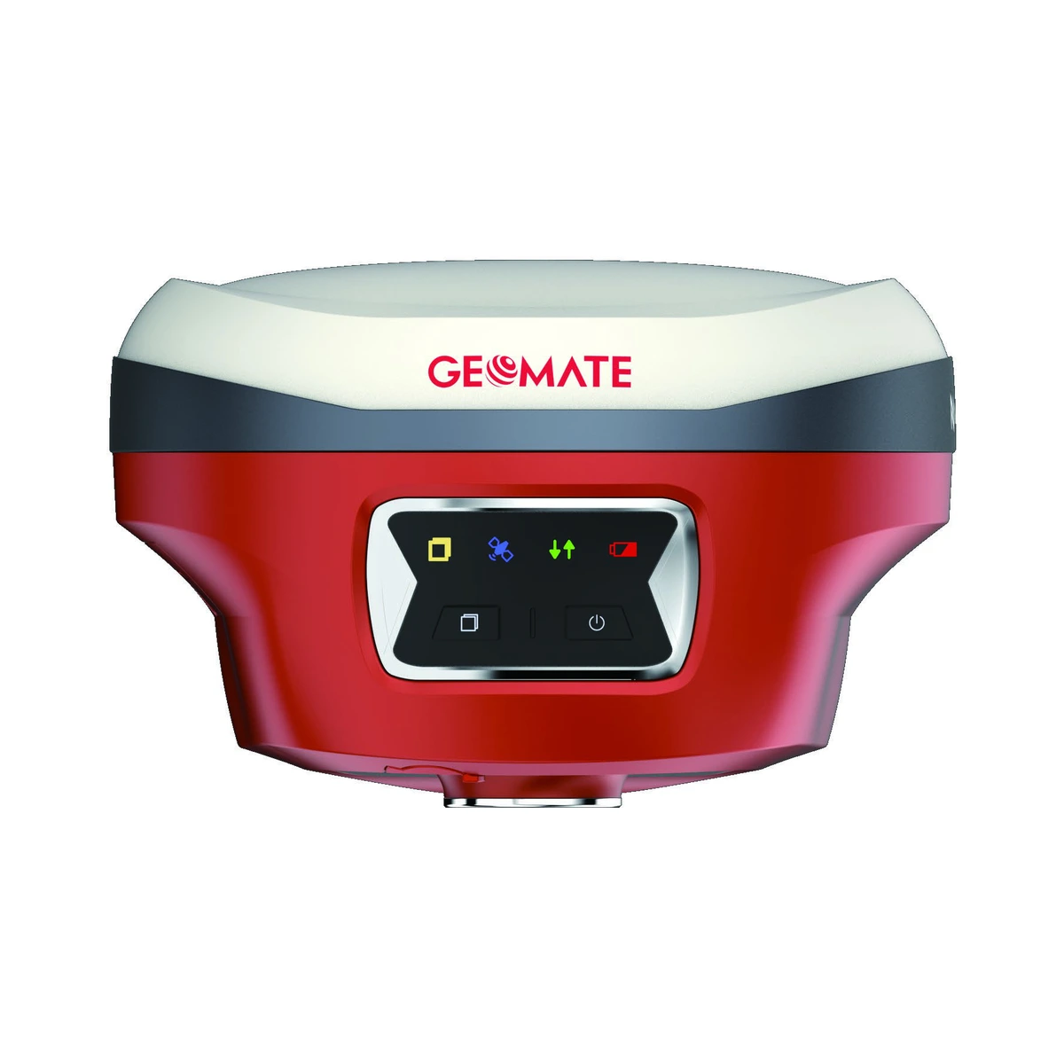
GeoMate SG6L GNSS Visual Laser Rover
1892 channels multi-constellation GNSS / GPS (L1 C/A, L1C, L2C, L2P, L5), GLONASS (L1, L2, L3), BeiDou (B1I, B2I, B3I, B1C, B2a, B2b), Galileo (E1, E5a, E5b, E6), QZSS (L1, L2, L5), NavIC (L5), SBAS
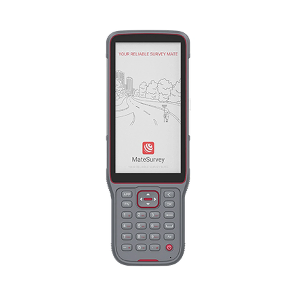
GeoMate FC2 Field Controller
Android 10.0 with Google Mobile Services (GMS) / Helio Octa-core 2.0 GHz high-performance processor
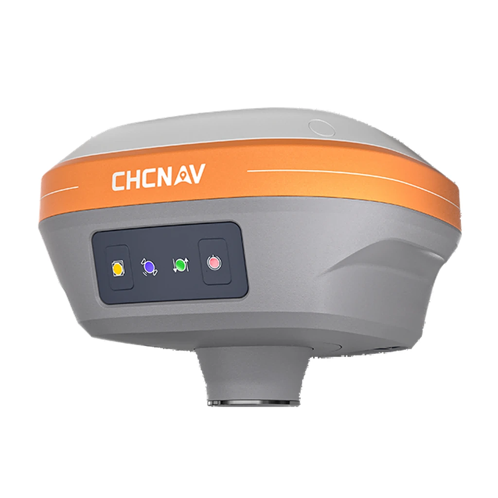
Professional GNSS Receiver
Survey GNSS Receiver / Geodetic Surveying & Precision Mapping
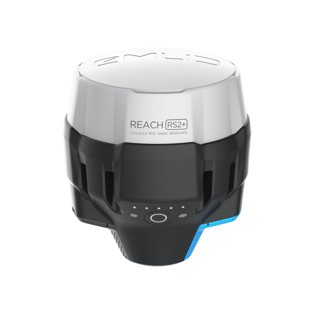
RTK / DGPS
GNSS RTK / DGPS / Precision Positioning
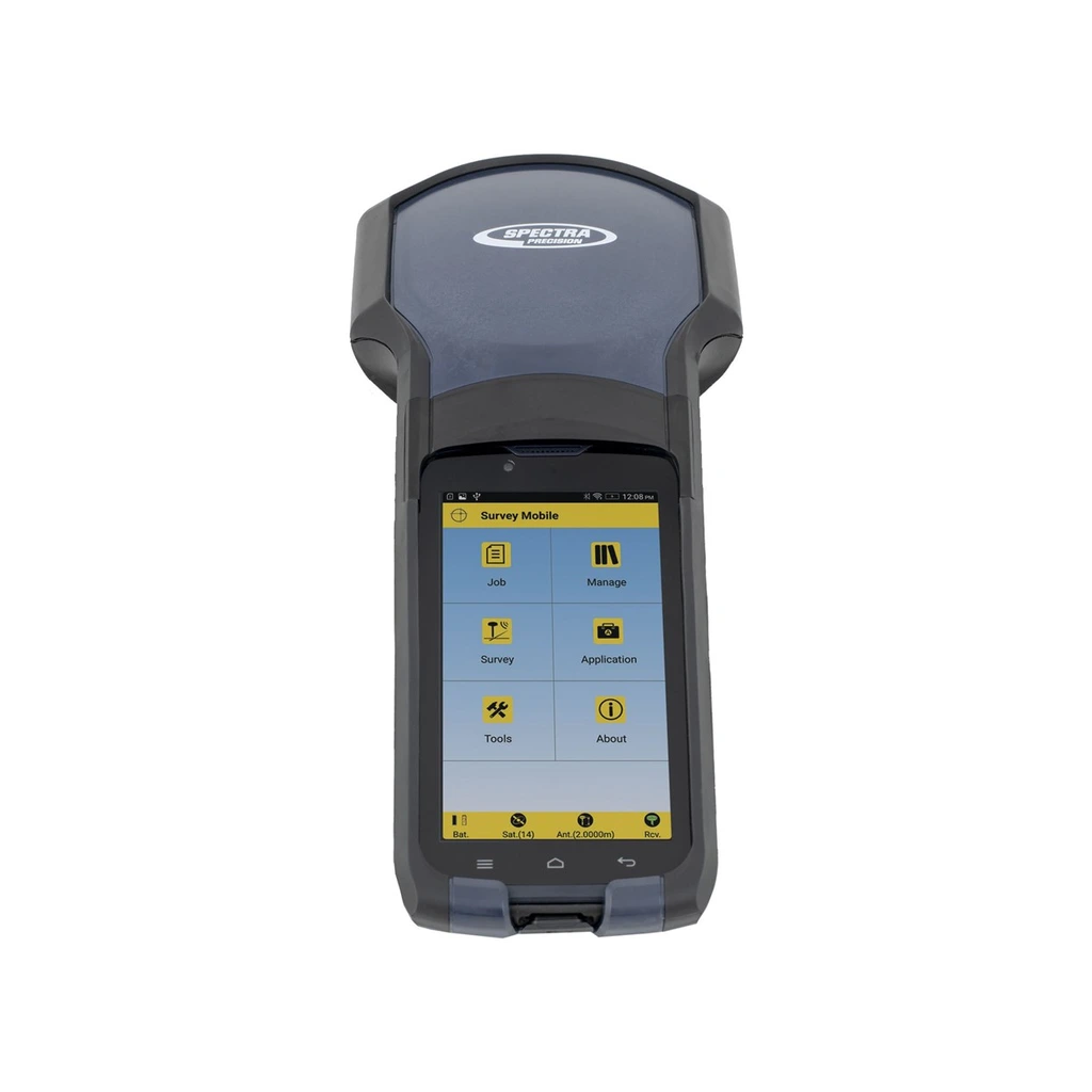
Sub-meter GPS
GIS Mapping GPS Receiver / Sub-Meter Field Mapping & Asset Logging
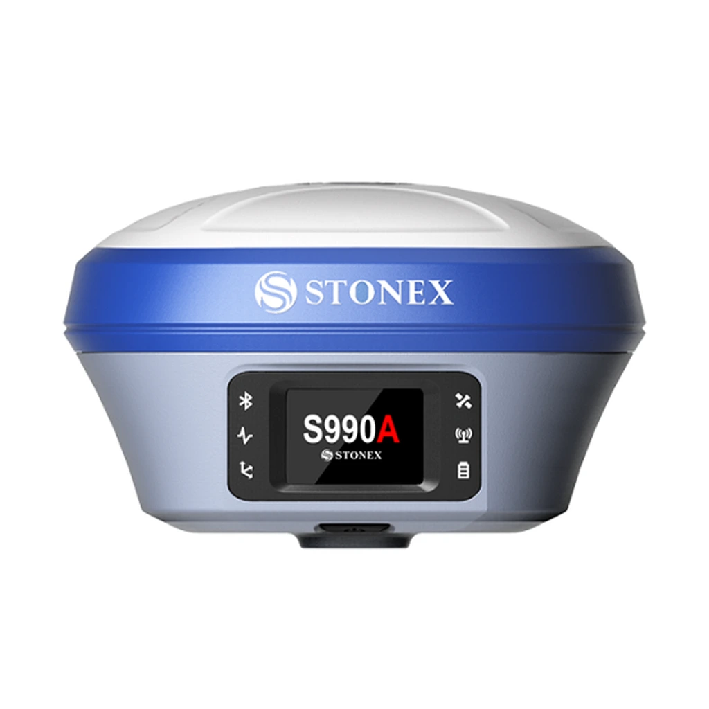
Centimeter / mm-accuracy GNSS
High-Precision Geodetic GNSS / Control Surveys & Geodetic Measurement
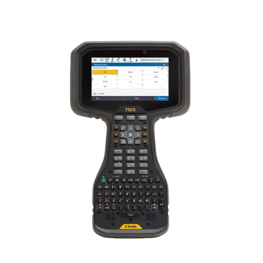
Electronic Data Collector
Survey Field Controller / Data Collector / Survey Instrument Control & Data Logging
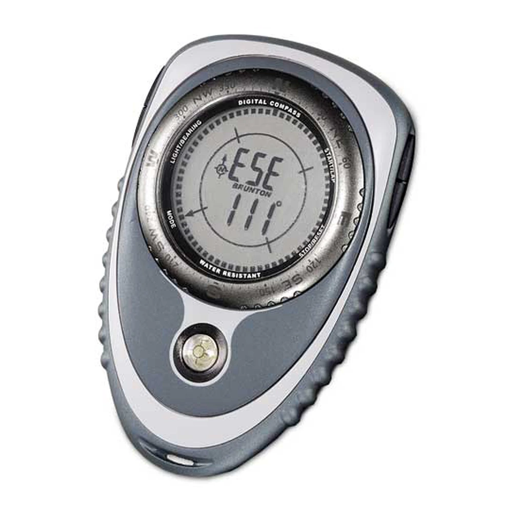
Digital Compass
Electronic Digital Compass / Field Heading & Azimuth Measurement
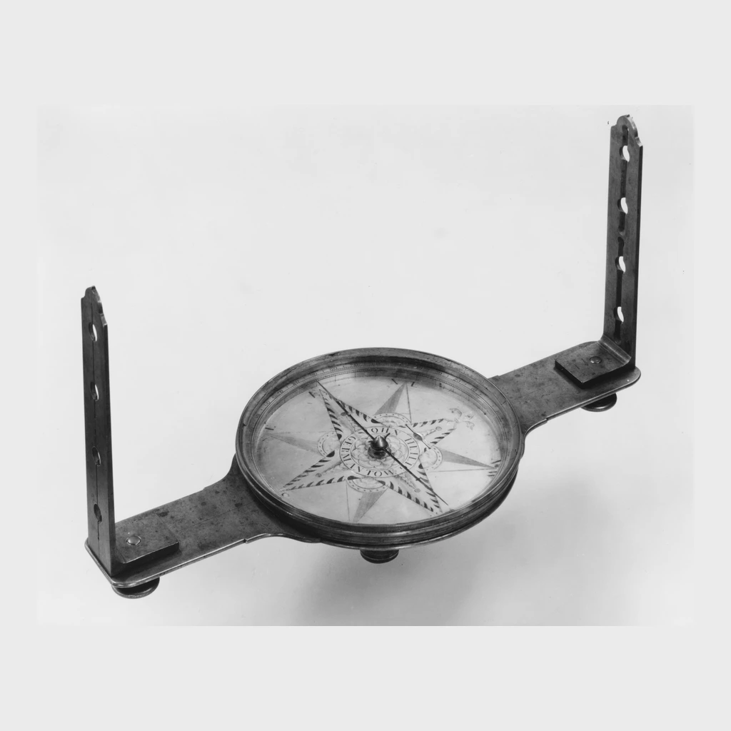
Staff Compass
Staff / Forestry Survey Compass / Boundary Line Layout & Survey Bearings
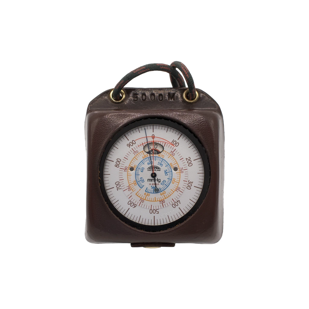
Altimeter
Barometric Field Altimeter / Elevation & Altitude Profiling
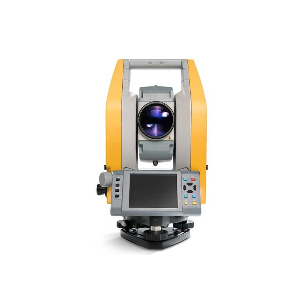
Total Station
Electronic Total Station / Angular & Distance Survey Measurement
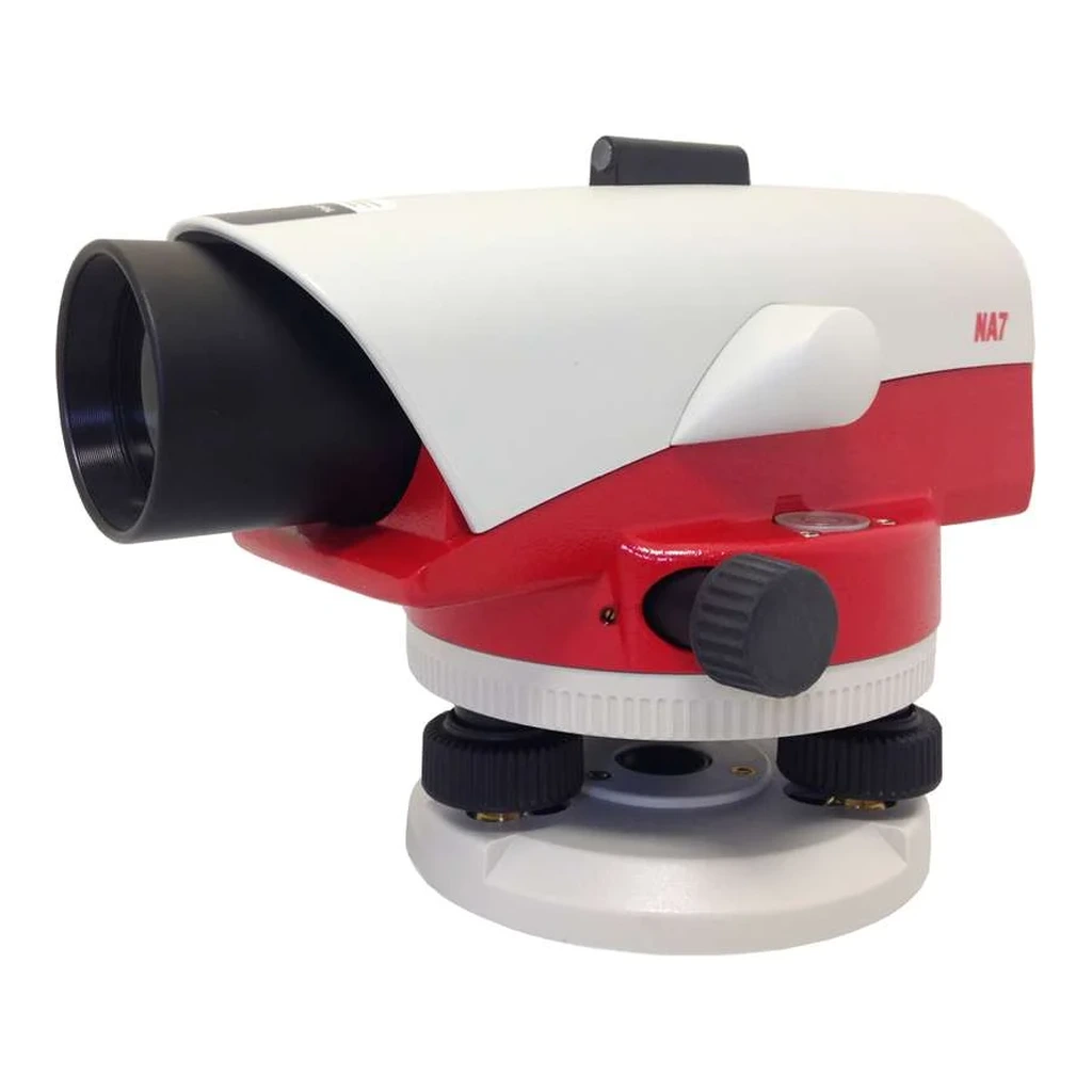
Automatic Level
Optical Automatic Level / Differential Leveling & Elevation Transfer
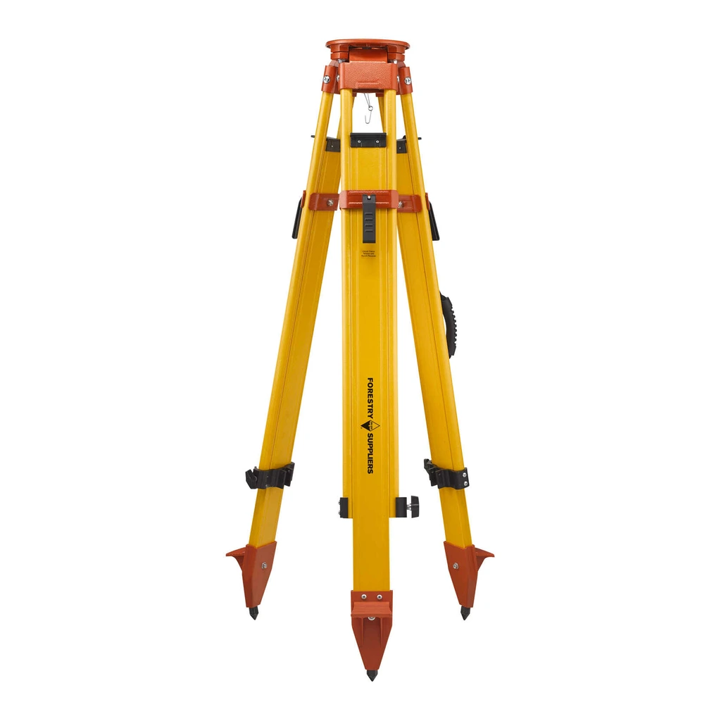
Survey Tripod
Survey Instrument Tripod / Instrument Stabilization & Ground Setup
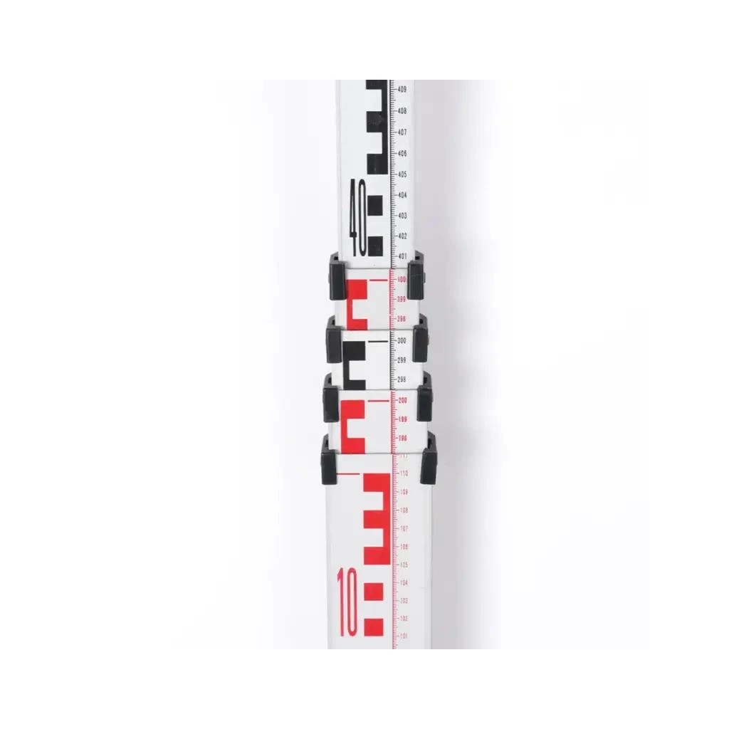
Measuring Rod
Surveying Leveling Rod / Elevation Sightings & Grade Measurement
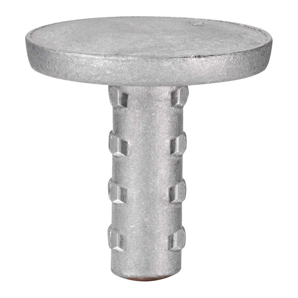
Plot Markers
Survey & Plot Ground Markers / Sample Plot & Boundary Station Identification
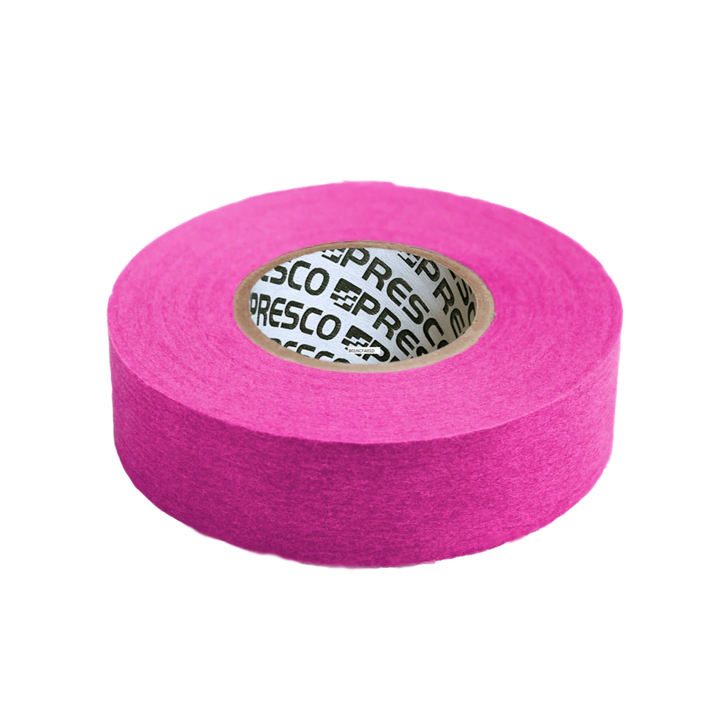
Flagging Tape
High-Visibility Flagging Ribbon / Visual Boundary & Target Marking
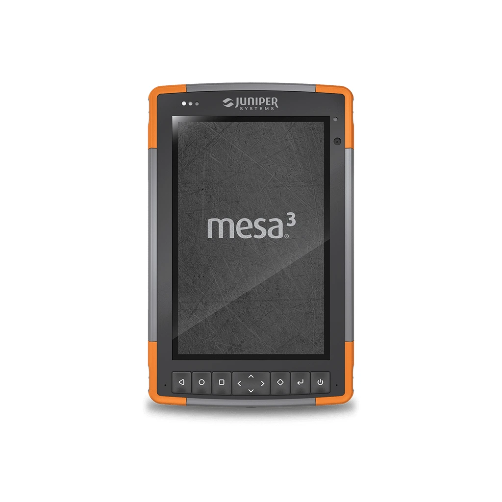
Field Data Recorder
Rugged Field Data Recorder / Field Observation & Forestry Data Capture
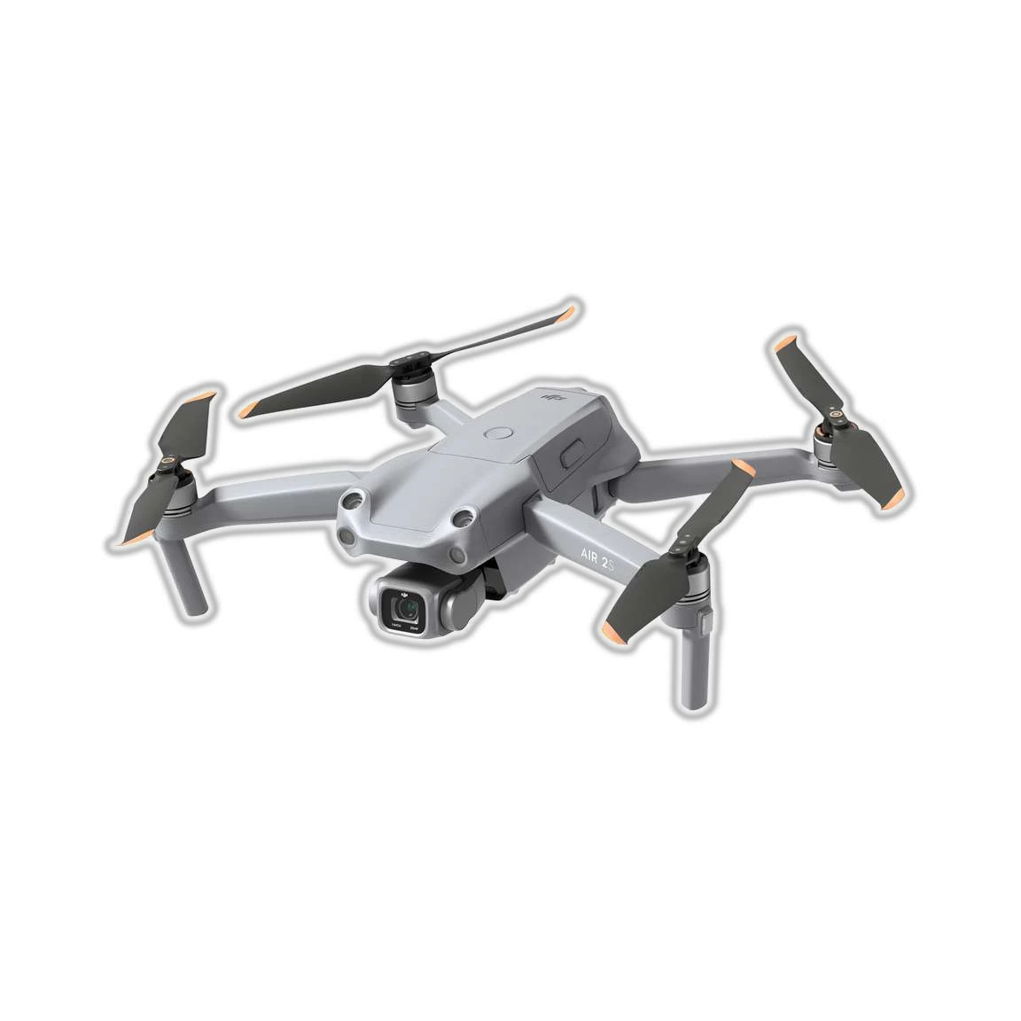
UAV / Drone
UAV / Drone / Aerial Survey & Mapping
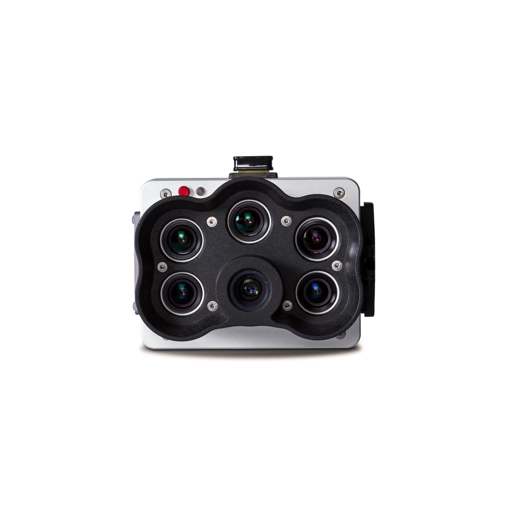
Multispectral Camera
Multispectral Imaging Camera / Vegetation Index & Canopy Health Mapping
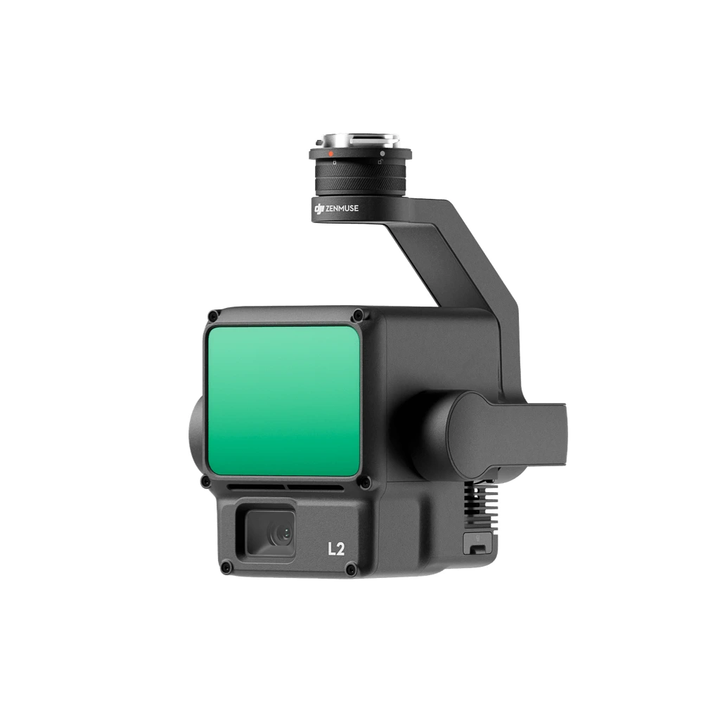
LiDAR System
LiDAR Scanning System / 3D Forest Structure & Terrain Mapping
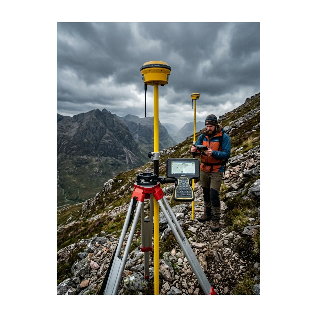
Forestry Boundary Mapping Services
Boundary Mapping & Land Demarcation / Forest Land Demarcation & Cadastral Verification
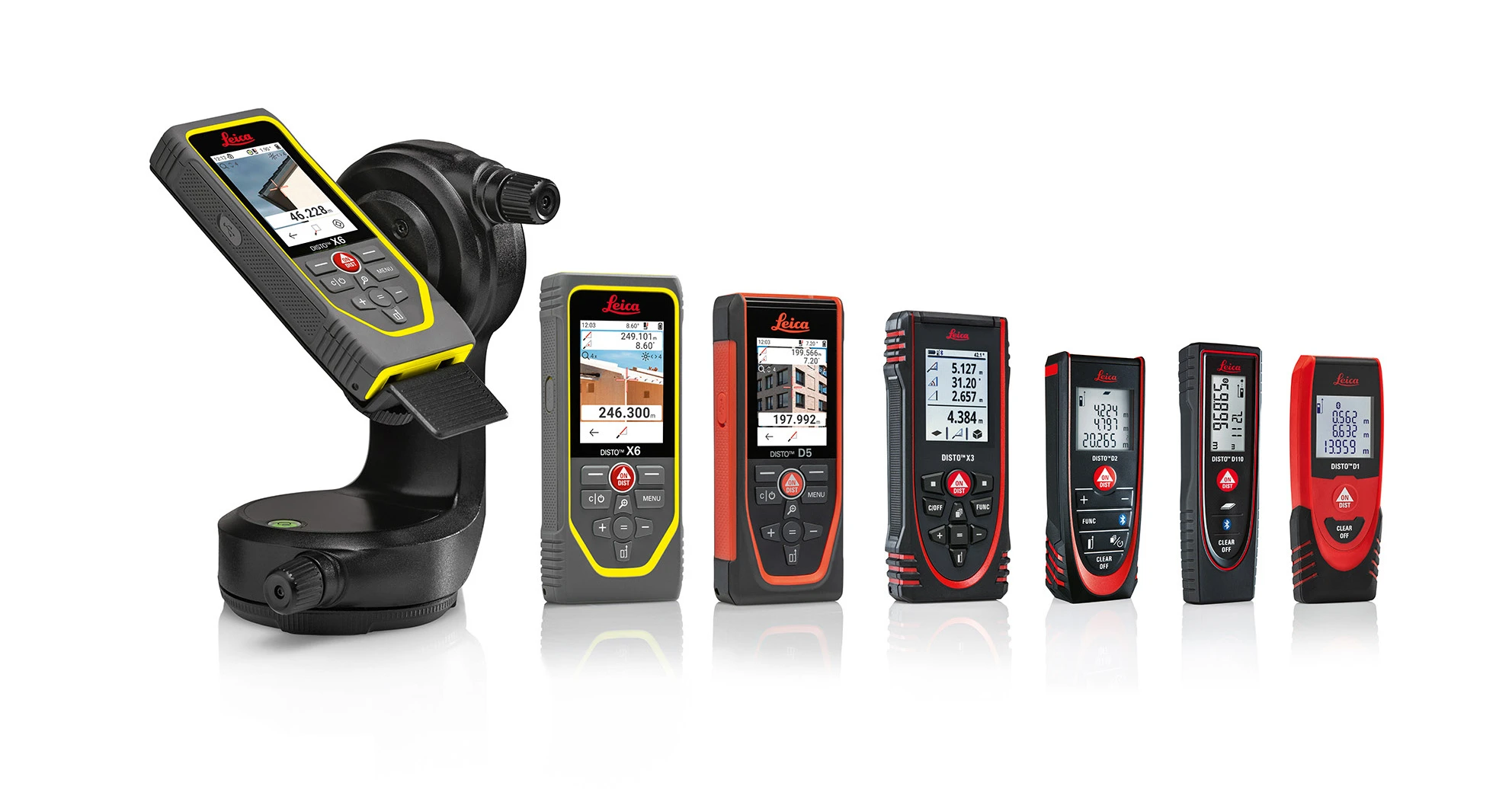
Leica DISTO™ Laser Distance Meter
Handheld Laser Distance Meter / Leica Geosystems DISTO™ Series
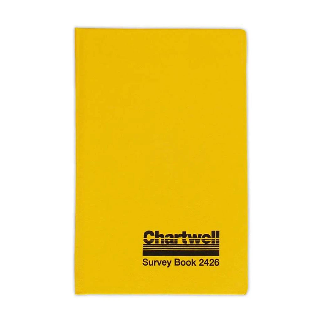
Chartwell Collimation Book – 2426
2426 / Collimation leveling layout (BS, IS, FS, HPC, RL, Distance)
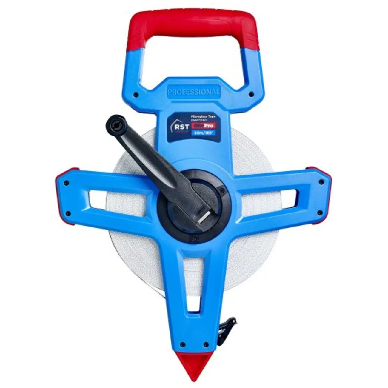
Geological Measuring Tape
30 m / 50 m open-frame / 100 m configurations / Heavy-duty non-conductive fiberglass with PVC coating
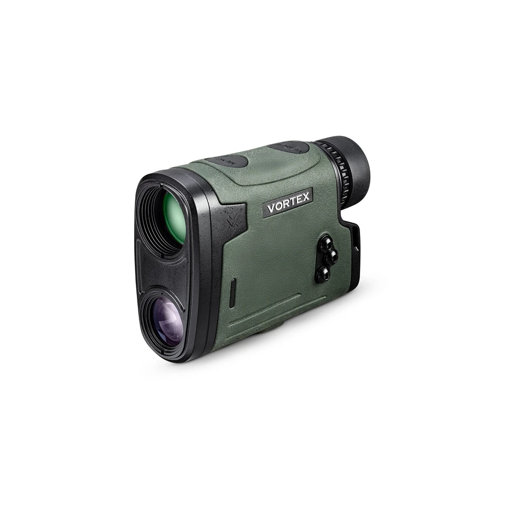
Viper® HD 3000
3,000 yds (2,743 m) / 2,300 yds (2,103 m)
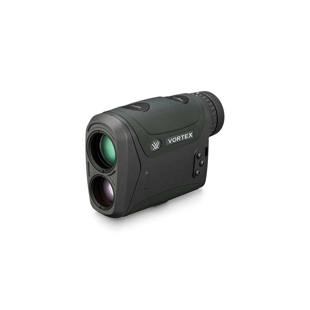
Razor® HD 4000
4,000 yds (3,658 m) / 2,500 yds (2,286 m)
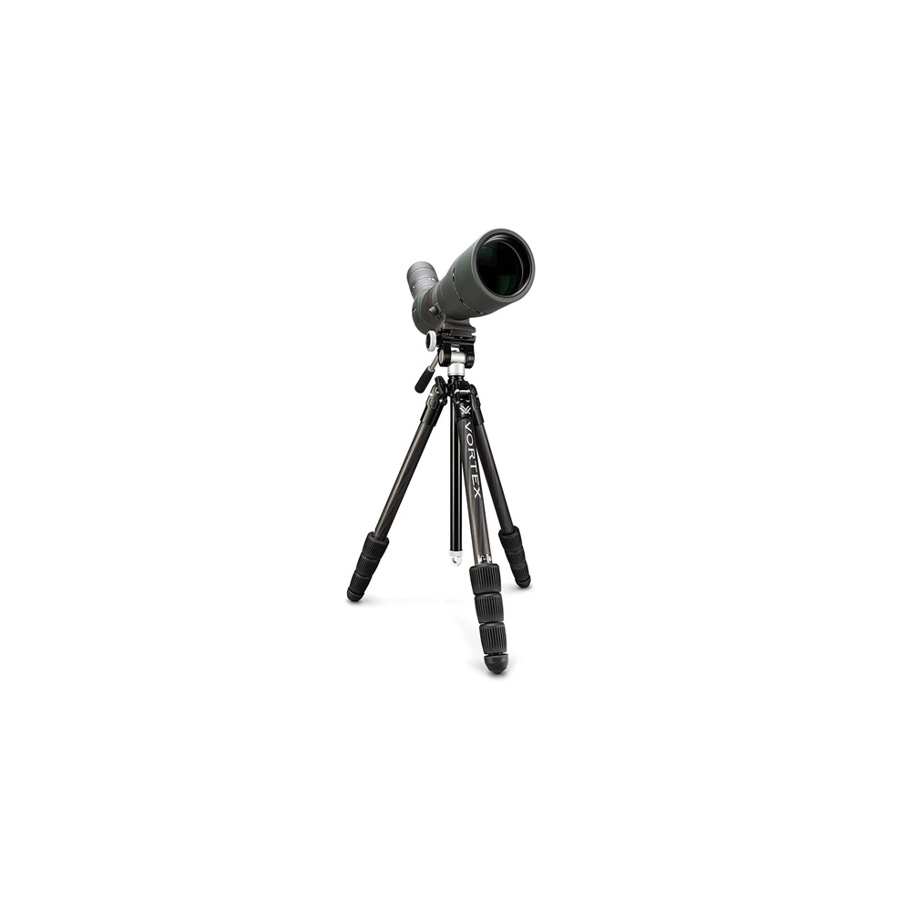
Summit® Carbon II Tripod Kit
22 lbs (10.0 kg) / 53.3 in (135.4 cm)
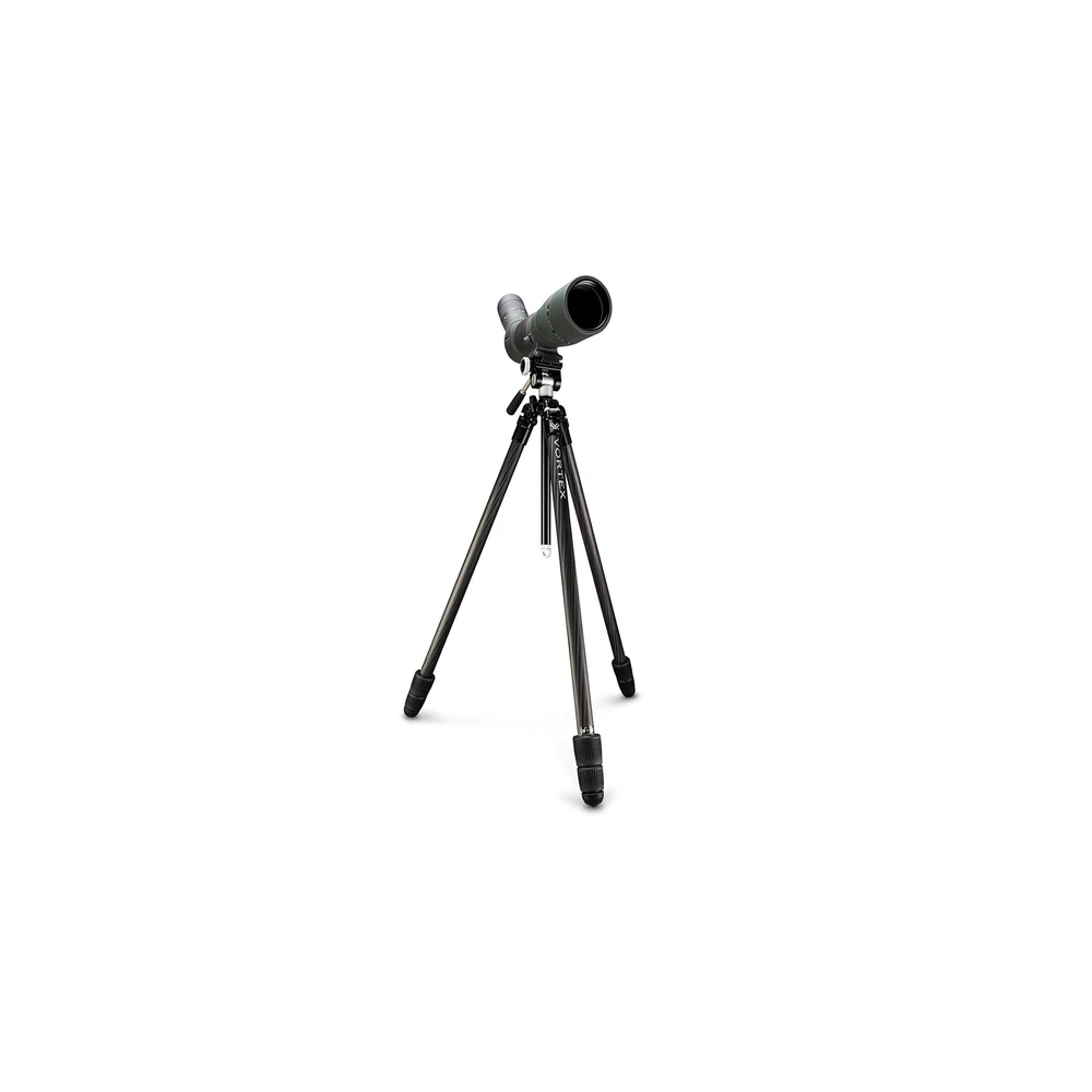
Ridgeview™ Carbon Tripod Kit
22 lbs (10.0 kg) / 73.8 in (187.5 cm)
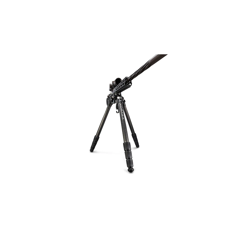
Radian™ Carbon Tripod Kit (Ball Head)
55 lbs (24.9 kg) / 67.3 in (170.9 cm)
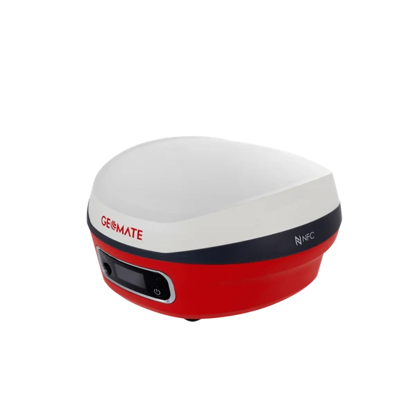
GeoMate SG7 IMU-RTK GNSS Receiver
1608 multi-constellation channels tracking GPS, GLONASS, Galileo, BeiDou, QZSS, and SBAS / Calibration-free IMU tilt compensation up to 60° with 2.5 cm survey accuracy
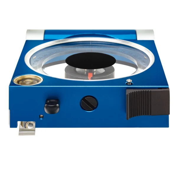
3030 COCLA Stratum Compass
Simultaneous two-axis Clar method (measures azimuth of dip and dip angle in one single operation) / 50 mm graduated circle with 1° / 1g graduation and anti-clockwise numbering for direct azimuth reading
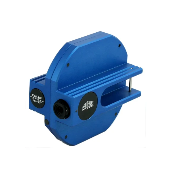
NECLI Optical Hand Clinometer
Parallax-free internal optical sighting system with adjustable diopter focusing eyepiece / Four available simultaneous graduations: ±90° (1° increments) and ±100% / ±150% gradient scales
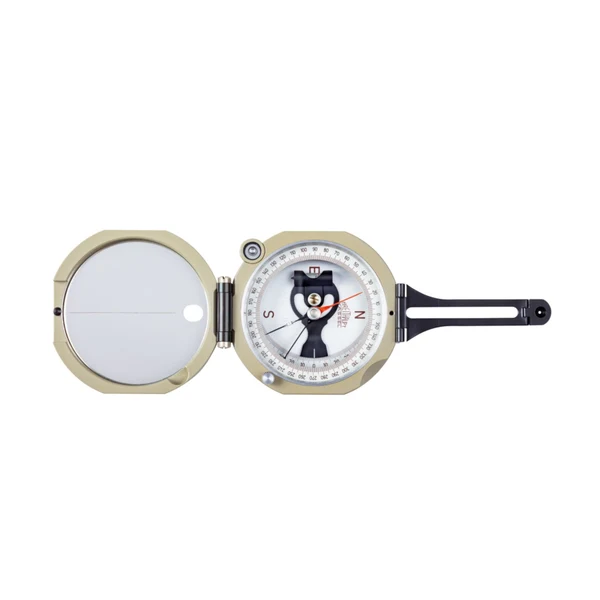
COBRU Universal Pocket Transit
63 mm diameter graduated circle with 1° / 1g resolution; 0°–360° azimuth numbering / 50 mm precision induction-damped magnetic needle with movable inclination counterweight
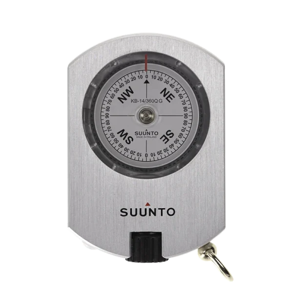
Suunto KB-14/360 Precision Bearing Compass
1/3° (20') optical reading accuracy with 0.5° graduation intervals / Optical diopter sighting system with adjustable lens focusing for parallax-free bearing
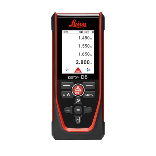
Leica DISTO™ D5 Outdoor Laser Distance Meter
0.05 m to 200 m (0.16 ft to 660 ft) / ±1.0 mm (ISO 16331-1 certified)
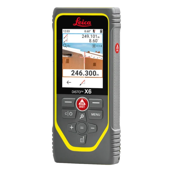
Leica DISTO™ X6 Rugged Point-to-Point Laser Distance Meter
0.05 m to 250 m (0.16 ft to 820 ft) / ±1.0 mm (ISO 16331-1 certified)
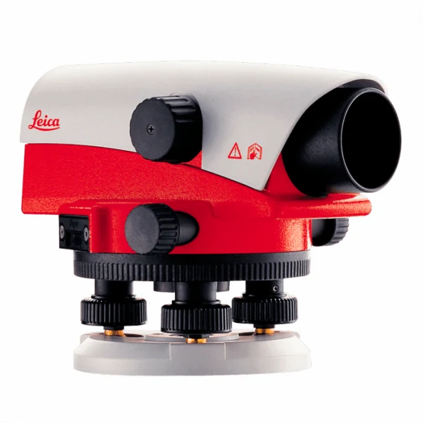
Leica NA730 Plus Automatic Optical Level
30x high-contrast erect telescope image / 0.7 mm (with parallel plate micrometer) / 1.2 mm standard
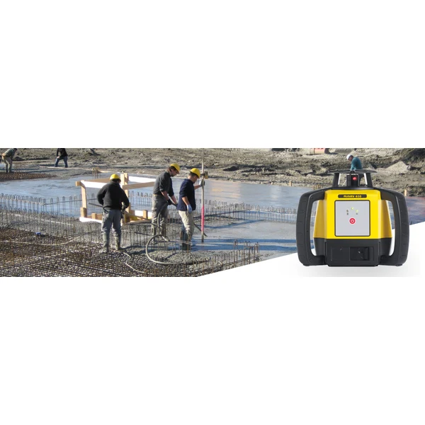
Leica Rugby 610 Rotating Laser Level
600 m (2,000 ft) diameter with Rod Eye digital receiver / ±2.0 mm at 30 m (±3/32 in at 100 ft)

Chartwell Rise and Fall Level Book – 2416
Chartwell 2416 (ExaClair) / Standard Rise and Fall Leveling (Back Sight, Inter Sight, Fore Sight, Rise, Fall, Reduced Level, Distance, Remarks)

Chartwell Survey Field Book – 2026
Chartwell 2026 / Two red center lines (survey baseline) with blue feint grid ruling

Chartwell Survey Dimension Book – 2242
Chartwell 2242 / Blue ruled horizontal lines with vertical center column margin

Chartwell Cross Section Survey Book – 2114
Chartwell 2114 / Metric cross-section 10:1 grid ruling (10 mm major lines, 1 mm subdivision grid)
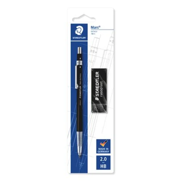
Staedtler Mars® technico 780 2mm Leadholder
2.0 mm refillable leads (e.g. Staedtler Mars carbon 200) / Precision 3-jaw drop clutch made of solid brass
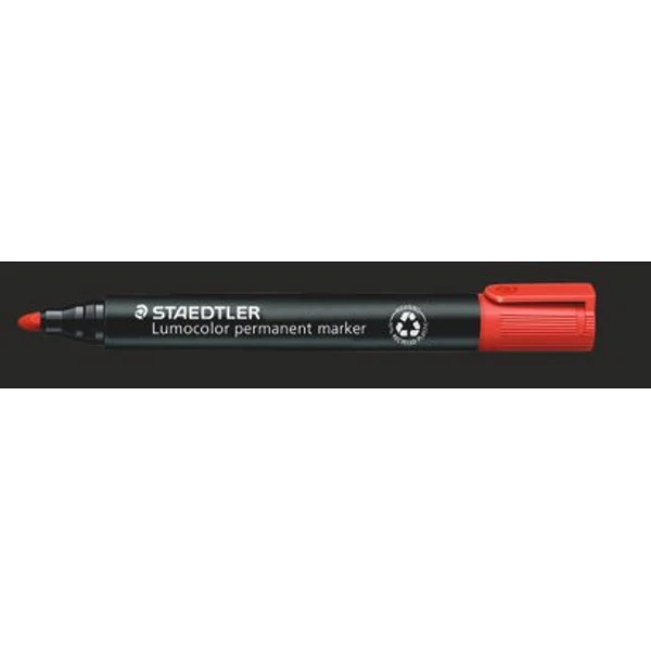
Staedtler Lumocolor® 352 Permanent Bullet Marker
Locked heavy-duty acrylic bullet tip (cannot be pushed back into barrel) / Approx. 2.0 mm
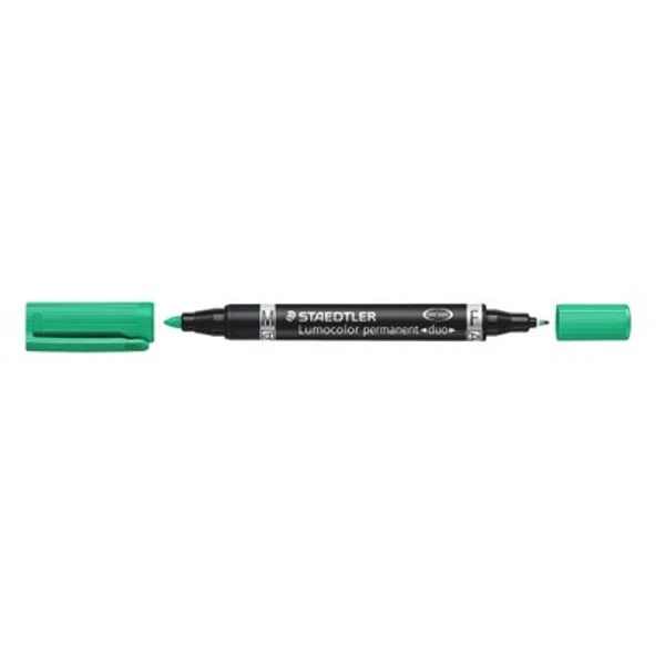
Staedtler Lumocolor® duo 348 Double-Ended Permanent Marker
Dual tips — Fine bullet tip (~0.6 mm) and Medium bullet tip (~1.5 mm) / Permanent, waterproof, smudge-resistant, low odor, xylene and toluene-free
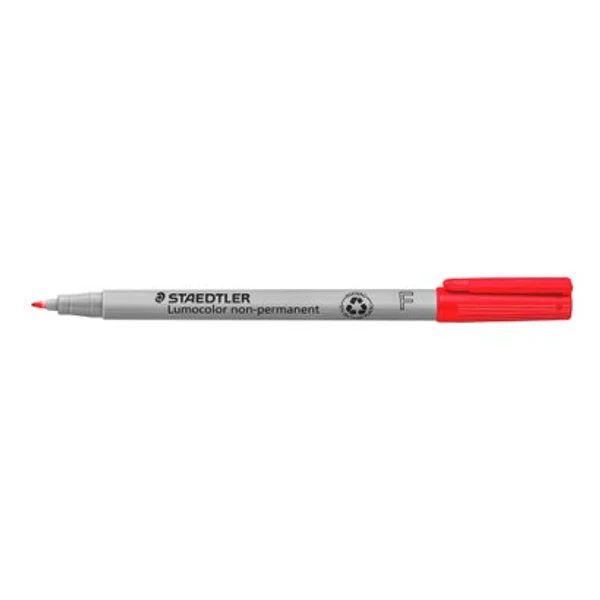
Staedtler Lumocolor® 316 Non-Permanent Fine OHP Marker
Fine acrylic bullet tip (0.6 mm line width) / Water-soluble non-permanent ink; wipes off non-porous surfaces with a damp cloth
Looking for other models in Surveying & DGPS?
We supply products to government institutions, research organizations, and field teams across India. Contact us for formal quotes, technical datasheets, and availability.
Big terrain.
Bigger possibilities.
Tell us where you're headed.
We'll help you get equipped.