
 01 / 01
AFFORDA
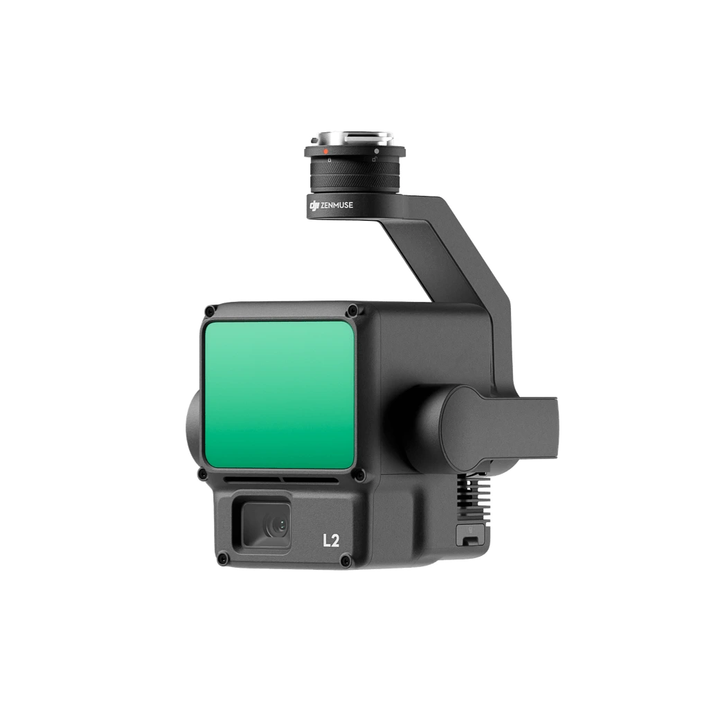
LiDAR System
AERIAL & TERRESTRIAL LIDARActive laser scanning LiDAR system engineered to penetrate dense forest canopies for high-precision digital elevation models, tree height profiles, and 3D forest structure.
Product TypeLiDAR Scanning System
Primary Use3D Forest Structure & Terrain Mapping
Configuration, availability and delivery confirmed with your quotation.
01 / FIELD CAPABILITIES
Built for the task.
- Multiple return capability penetrates dense vegetation canopy to capture ground topography
- Generates dense 3D point clouds for structural forestry analysis and canopy profiling
- Produces accurate Digital Terrain Models (DTM) beneath complex forest cover
- Facilitates above-ground biomass estimation and individual tree segmentation
02 / TECHNICAL DETAILS
Precision, specified.
- Product Type
- LiDAR Scanning System
- Primary Use
- 3D Forest Structure & Terrain Mapping
- Technology
- Pulsed Laser Light Detection & Ranging
- Application
- Canopy Penetration, DTM Generation & Biomass Estimation
- Platform Compatibility
- UAV, Aerial & Mobile Survey Platforms
Key specifications and field-use details. Exact configuration may vary by model or selected variant.
AFFORDA
Specialized supplier of professional field, forestry, surveying, and wildfire management equipment.
CONTINUE YOUR EXPLORATION
All products COMPLETE YOUR FIELD KIT.
YOUR NEXT EXPEDITION STARTS HEREBig terrain.
Big terrain.
Bigger possibilities.
Tell us where you're headed.
We'll help you get equipped.