
 01 / 01
AFFORDA
Centimeter / mm-accuracy GNSS
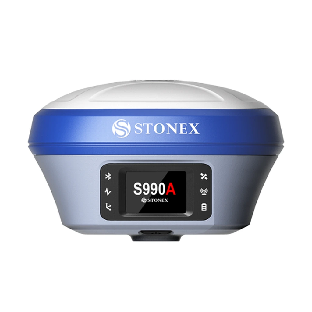
HIGH-PRECISION GNSSGeodetic-grade satellite positioning system designed for boundary surveying, geodetic control networks, and engineering applications demanding centimeter-to-millimeter precision.
Product TypeHigh-Precision Geodetic GNSS
Primary UseControl Surveys & Geodetic Measurement
Configuration, availability and delivery confirmed with your quotation.
01 / FIELD CAPABILITIES
Built for the task.
- Geodetic survey positioning for engineering control points
- Supports static post-processing and real-time kinematic modes
- Multi-frequency signal tracking for robust multipath mitigation
- Compatible with precision survey tripods and tribrachs
02 / TECHNICAL DETAILS
Precision, specified.
- Product Type
- High-Precision Geodetic GNSS
- Primary Use
- Control Surveys & Geodetic Measurement
- Workflow Modes
- Real-Time Kinematic (RTK) & Static
- Application
- Boundary, Cadastral & Engineering Layout
- Mounting Compatibility
- Survey Tribrach & Range Pole
- Field Enclosure
- Weatherproof Geodetic Housing
Key specifications and field-use details. Exact configuration may vary by model or selected variant.
AFFORDA
Specialized supplier of professional field, forestry, surveying, and wildfire management equipment.
CONTINUE YOUR EXPLORATION
All products COMPLETE YOUR FIELD KIT.
YOUR NEXT EXPEDITION STARTS HEREBig terrain.
Big terrain.
Bigger possibilities.
Tell us where you're headed.
We'll help you get equipped.