
 01 / 04
GeoMate Complete GNSS RTK System
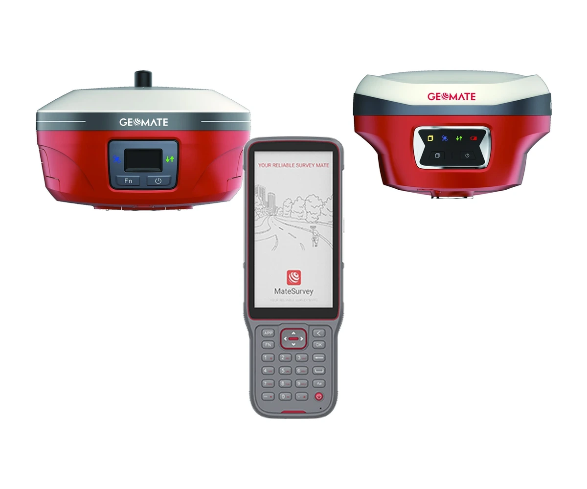
TURNKEY GNSS RTK SYSTEMTurnkey surveying and DGPS positioning system combining the GeoMate GBASE high-power UHF base station, the GeoMate SG6L visual-assist laser rover, and the GeoMate FC2 rugged field controller with MateSurvey software for centimetre-grade accuracy across surveying, forestry, mining, and geodetic applications.
Configuration, availability and delivery confirmed with your quotation.
COMPLETE SYSTEM
INCLUDES.
This turnkey GNSS RTK survey kit combines the high-power GBASE base station, the dual-camera visual-assist SG6L rover, and the FC2 Android field controller running MateSurvey.
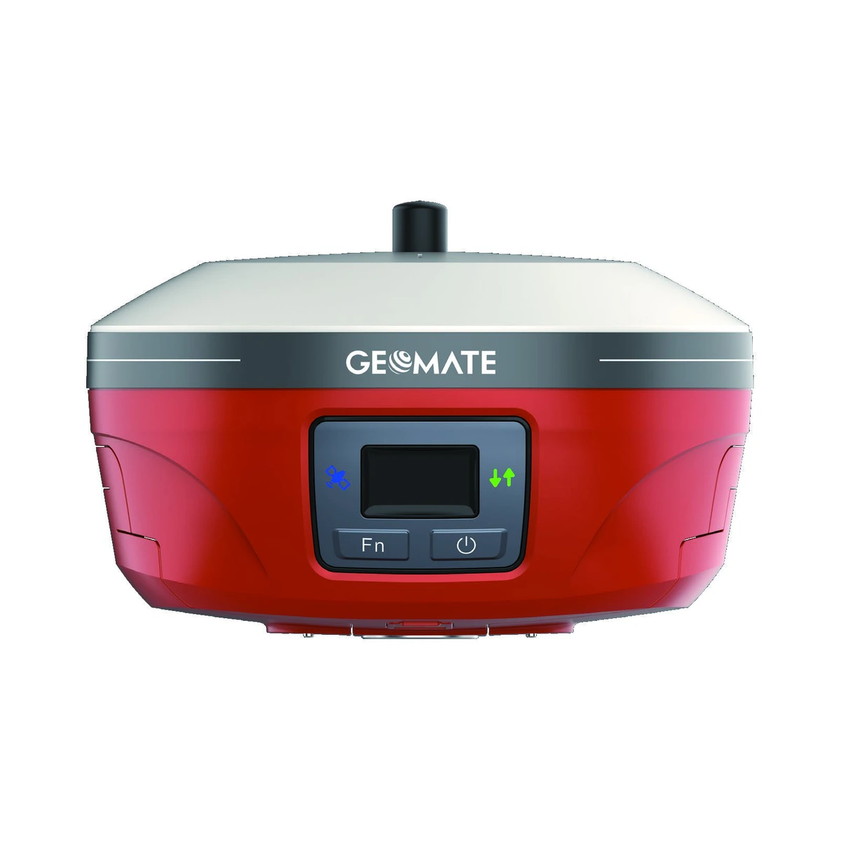
GeoMate GBASE GNSS
1608-channel geodetic base receiver with internal 5W UHF radio (up to 30 km LongRun range), dual hot-swappable batteries, and IP67 rugged enclosure.
Explore component specifications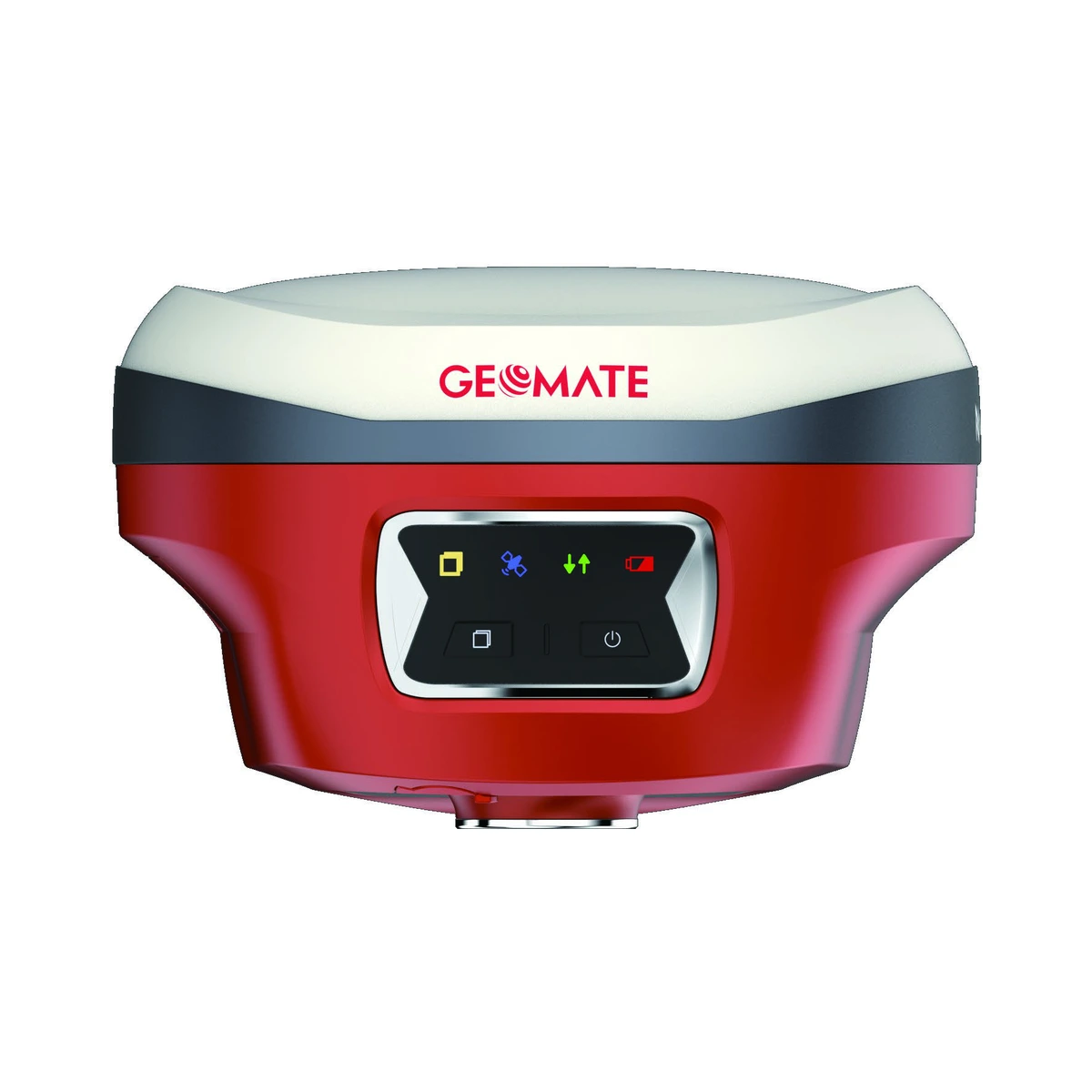
GeoMate SG6L GNSS
1892-channel lightweight visual rover featuring a 50 m green laser, dual AR cameras for stakeout and 3D modeling, and 60° calibration-free IMU tilt compensation.
Explore component specifications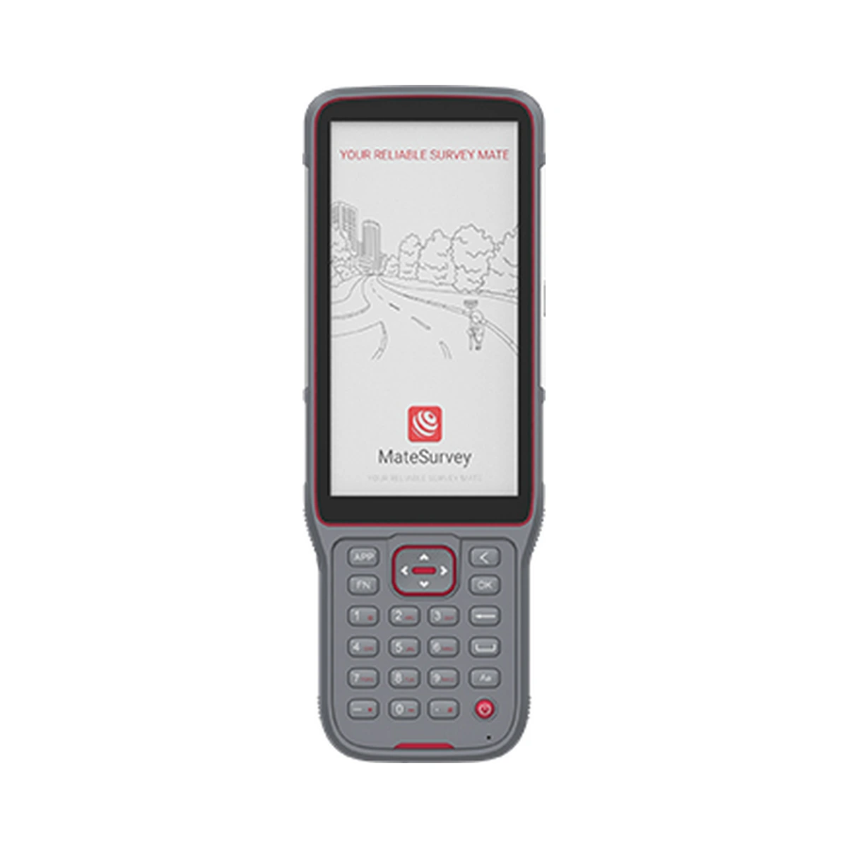
GeoMate FC2 Controller
Rugged Android 10 handheld controller featuring a 5.5" sunlight-readable HD+ display, alphanumeric keypad, 8000 mAh battery, and MateSurvey software.
Explore component specificationsBuilt for the task.
- Complete turnkey survey kit: GBASE base station + SG6L rover + FC2 field controller + MateSurvey software
- Multi-constellation tracking across 1608/1892 channels for ultra-fast RTK fix in challenging canopy or urban canyons
- High-power 5W internal UHF transceiver on GBASE operating up to 15 km (30 km in LongRun mode) without external radio hassles
- SG6L rover equipped with 50 m green millimetre laser and dual AR cameras for stakeout, inaccessible points, and photogrammetry
- Calibration-free 60° IMU tilt compensation immune to magnetic interference for rapid, accurate pole-tilt survey
- FC2 Android controller with sunlight-readable 5.5" display, physical alphanumeric keypad, and 8,000 mAh battery for 14+ hours continuous operation
- Pre-installed MateSurvey software supporting standard CAD/GIS formats, stakeout modes, road design, and geodetic coordinate systems
- Supplied with carbon-fibre rover pole, heavy-duty base tripod with tribrach and adapter, dual-bay chargers, and rugged transport cases
Precision, specified.
- System Type
- Complete GNSS RTK Base + Rover + Field Controller Solution
- Base Station
- GeoMate GBASE (1608 Channels, Internal 5W UHF, LongRun up to 30 km)
- Rover Receiver
- GeoMate SG6L (1892 Channels, 50 m Green Laser, Dual AR Cameras, 60° IMU)
- Field Controller
- GeoMate FC2 (5.5" HD+ Touchscreen, Android 10, MateSurvey Pre-installed)
- RTK Accuracy
- Horizontal: 8 mm + 1 ppm RMS / Vertical: 15 mm + 1 ppm RMS
- Constellation Support
- GPS, GLONASS, Galileo, BeiDou, QZSS, NavIC, SBAS
- UHF Radio Range
- Up to 15 km standard (up to 30 km in LongRun™ mode)
- Tilt Compensation
- Calibration-free 60° IMU tilt measurement on rover
- Environmental Protection
- IP67 (Base) / IP68 (Rover & Controller), 2 m drop resistant
- Field Workflow
- Complete field-to-office survey, stakeout, boundary & cadastral workflow
Key specifications and field-use details. Exact configuration may vary by model or selected variant.
GeoMate
Professional GNSS positioning, RTK surveying, visual laser rovers, and rugged field data-collection systems.
COMPLETE YOUR FIELD KIT.
Big terrain.
Bigger possibilities.
Tell us where you're headed.
We'll help you get equipped.