
 01 / 01
AFFORDA
Sub-meter GPS
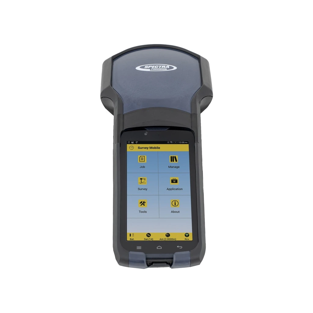
SUB-METER MAPPING GPSField-ready handheld GNSS mapping receiver designed for GIS data collection, asset management, and environmental resource surveys requiring sub-meter precision.
Product TypeGIS Mapping GPS Receiver
Primary UseSub-Meter Field Mapping & Asset Logging
Configuration, availability and delivery confirmed with your quotation.
01 / FIELD CAPABILITIES
Built for the task.
- Optimized for GIS asset mapping and utility inventory
- Differential correction support for sub-meter mapping workflows
- Integrated antenna and sunlight-readable display interface
- Rugged drop-resistant casing built for all-weather fieldwork
02 / TECHNICAL DETAILS
Precision, specified.
- Product Type
- GIS Mapping GPS Receiver
- Primary Use
- Sub-Meter Field Mapping & Asset Logging
- Differential Support
- SBAS / DGPS Differential Processing
- Application
- Natural Resources & Utility Inventory
- Field Workflow
- GIS Data Collection & Waypoint Logging
- Format
- Rugged Handheld Field Unit
Key specifications and field-use details. Exact configuration may vary by model or selected variant.
AFFORDA
Specialized supplier of professional field, forestry, surveying, and wildfire management equipment.
CONTINUE YOUR EXPLORATION
All products COMPLETE YOUR FIELD KIT.
YOUR NEXT EXPEDITION STARTS HEREBig terrain.
Big terrain.
Bigger possibilities.
Tell us where you're headed.
We'll help you get equipped.